How Satellite Data Reveals Poverty and Risk in the Central African Republic
Published on: Saturday 14 February 2026
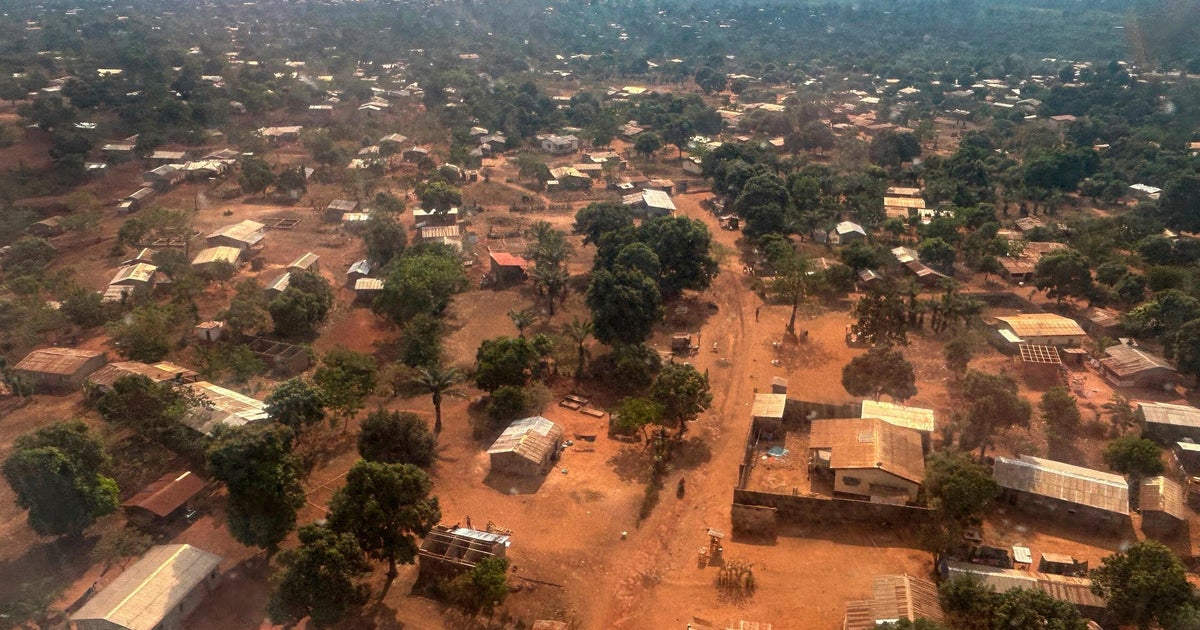
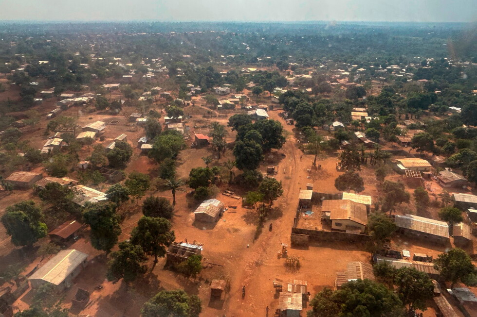
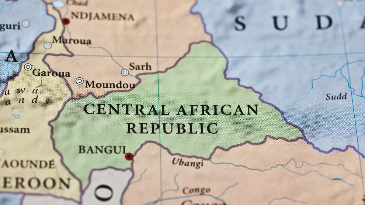
 Using satellite imagery, geocoded infrastructure data and conflict records, World Bank researchers mapped economic activity, service access and risk exposure across the Central African Republic at a 5×5 km level. The study shows sharp spatial inequalities, confirms that these alternative data strongly predict household wealth, and highlights how conflict often targets economically valuable areas.
RELATED NEWS